
Environment and Climate Change Canada has launched a multi-year research program using mobile labs to track air pollutants in real time. Sarnia serves as the first test site for the study, which focuses on localized exposure rather than regional averages.
A new federal emissions study is now underway in the Sarnia–Lambton area, and unlike most of the air monitoring residents are used to hearing about, this one is happening in real time.
The work is being led by Environment and Climate Change Canada, and the first phase is already in the field, a roughly two-week monitoring campaign taking place in late April and early May, with Sarnia serving as the first test site in a broader, multi-year national research program.
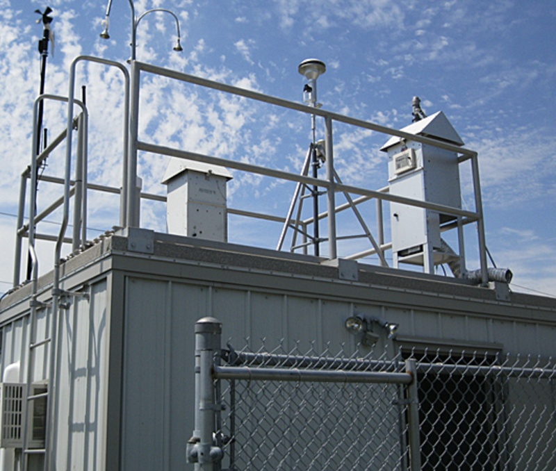
For years, air quality in and around Sarnia has largely been tracked through fixed monitoring stations, devices that sit in one place, collect data over time, and report averaged results back into regulatory systems. That approach is effective at showing trends and determining whether emissions fall within defined limits, but it comes with a limitation that is easy to miss: averages smooth out variability, and variability is often where the most meaningful exposure happens.
This study is designed to capture that variability instead of smoothing it out. Federal researchers are using a mobile air-monitoring lab, a vehicle equipped with instruments that measure pollutants in real time as it moves through industrial corridors and nearby communities. Rather than relying on a single point of measurement, the study creates a moving dataset, tracking how concentrations change from one street to the next, and how those changes align with proximity to facilities, traffic, and shifting wind conditions.
The pollutants being measured are not new. The focus includes volatile organic compounds such as benzene and xylene, along with nitrogen oxides and ozone, substances that have long been associated with petrochemical activity in the region. What is different is the way they are being measured and the question the study is trying to answer. Traditional monitoring systems are built around compliance: are emissions within allowable limits over time? This study is oriented toward exposure: what is present in the air at specific locations, at specific moments, under real-world conditions.
That distinction matters because short-term spikes and localized concentrations can be masked by longer-term averages. A monitoring station may show compliance over a day or a year, while still missing brief periods of elevated exposure or pockets of higher concentration in areas just outside its immediate range. A mobile system is designed to detect those gaps, mapping not just how much pollution exists, but how it moves and where it accumulates.
Sarnia’s selection as the first field deployment site is not incidental. The region’s industrial footprint, often referred to as Chemical Valley, creates a dense and highly variable emissions environment, with multiple facilities operating in close proximity and overlapping plumes influenced by weather and geography. From a research perspective, it is a complex system, and complexity is where new measurement approaches are most effectively tested. If a method can produce meaningful data here, it can likely be adapted to other regions with more straightforward emission patterns.
The timing reflects changes on the scientific side more than any single triggering event. Advances in portable monitoring technology now allow for high-resolution, real-time measurement that was not practical at this scale even a decade ago. At the same time, there is a growing recognition that fixed monitoring networks, while useful, leave gaps in understanding, particularly when it comes to short-duration exposure and the interaction of multiple pollutants in the same airspace. This study is part of a broader federal effort to address those gaps, with Sarnia serving as the initial test case.
It is also important to be clear about what this study is not. It is not, on its own, an enforcement action. It does not determine regulatory violations, and it does not directly assign responsibility to specific facilities. What it produces is data, more detailed, more localized, and more reflective of real-world conditions than what is typically available. How that data is used, whether in policy development, regulatory changes, or further investigation, comes later.
What follows will depend largely on what is released publicly and how that information is presented. If the results include detailed spatial mapping of pollutant concentrations, they may provide a clearer picture of how uneven air quality can be across relatively short distances, and how conditions experienced at the neighbourhood level can differ from regional averages. That kind of information does not replace existing monitoring systems, but it does change the context in which their results are interpreted.
At its core, the study reflects a shift away from a single question, whether emissions meet established limits, and toward a more complex one: how those emissions behave once they enter the environment and move through the communities around them. It is a narrower focus in some ways, but a more precise one, and one that aligns more closely with how exposure is actually experienced on the ground.


